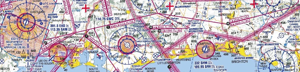
In a past post we covered how airline pilots keep from getting lost, with the assistance of both visual and technological means. And a key part of these operations – as much during the run-up and preparation as during the flight itself – is working with aeronautical navigation charts. Once available only in bound notebook form, hauled around by pilots in bulky flight bags), now these are commonly found in electronic form, loaded onto cockpit instruments as well as portable laptops and tablet computers. One thing hasn’t much changed, however, and that’s the name associated with these critical documents: Jeppesen. In fact, though this is a specific brand name that’s no longer the only game in town, it’s often used as a generic terms, with such charts routinely referred to as “Jeppesens”.
In case you’re wondering where the name comes from, it originally belonged to a gentleman called Elrey Borge Jeppessen, born in 1908 in the American state of Louisiana and raised in Oregon. As a child he would spend hours observing the flight of eagles, and flying became an obsession for him. After he had the chance at a ten-minute flight with a barnstormer in a Curtiss JN-4 “Jenny” (one of the most popular planes of its day, widely used in training pilots and in traveling air shows), the 14-year-old was hooked for good.

As of age 18 Jeppesen joined a touring aerial show, performed aerial surveys, flew airmail, and became part of the cadre of pioneers of the aviation industry, in 1928 receiving one of the first pilot’s licenses ever given (signed by none other than Orville Wright) and piloting the first flight to carry a stewardess.
During all this, he was also working on the innovation that would make his name most famous. Pilots were still flying using visual clues and road maps, but Jeppesen started compiling a “little black book” with detailed notations about his routes. Word spread, and he started handing copies out to colleagues, until 1934, when he founded Jeppesen & Co. out of his home in Salt Lake City, Utah, to sell them at $10 apiece. So, yes, this year marks the company’s 80th anniversary.
World War II was of course an enormous boost for business, as the company became the official provider of aeronautical maps for the armed forces. Ever since then it has grown and innovated, even after Elrey Jeppesen himself retired in 1954 and sold the company in 1961 (today it’s a subsidiary of Boeing). Its products now cover practically the entire globe, incorporating GPS technology, instrument approach charts, and integrating its databases with the first electronic systems onboard commercial airliners (1973). Then as of the 1990s it started offering its data in CD-ROM form, and has entered the age of apps with FliteDeck (and it’s also ventured onto the water with an app for sailors called Marine Plan2Nav).
There’s also, of course, a variety of other professional aviation services integrated into the avionics of many large aircraft, as well as nearly a hundred other products for military aviation, business, weather services, pilot accessories, and much else.
All of which makes it hard to see how Jeppesen, the tiny company that started in a basement with a little black notebook 80 years ago, will not have a secure role in the exciting evolution of aviation for years to come.